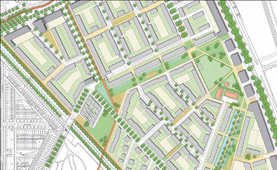
Connectivity is about the structure of the street network. The streets emerging in the spatial analysis as most accessible at the local level are indicated in the analysis of connectivity as “main streets”. These main streets are almost always connected to each other, thus forming the main streets network.
In computing the connectivity of the local streets, one counts the least number of corners a person has to cross to reach the main streets network. This is also called the topological depth of a street. The topological depth of a street indicates how much a street is part of its surroundings or how well it is connected to its immediate surroundings. The main streets (or the streets that score highest in the calculation of the local accessibility) have by definition a value of zero and are indicated by a red color on the map. The streets directly connected to the main streets get a value of one (because it also one corner away from the main street), et cetera. The bluer the color the less the road is connected to the main street network. On neighborhood level, it applies that when the main street runs through the neighborhood (as is the case in many pre-war neighborhoods), then the district as a whole is well connected.
We know from research that well connected streets and neighborhoods are less vulnerable to burglary, vandalism and threats than streets and neighborhoods that are less well connected. The tipping point lies at a topological depth of 3.
